SAP has released a new spatial product:
SAP HANA spatial services. It was announced at SAPPHIRE in Orlando, Florida.
SAP HANA spatial services is a brand new subscription based product built on SAP Cloud Platform; the spatial services are available for customers via SAP Cloud Platform Cockpit after subscription.
What’s the background and why we built SAP HANA spatial services
We learnt from our customers that they are facing issues when dealing with real time geographical data while injecting it into their spatial business processes and business use cases – let me describe in a bit further detail:
In order for many of our customers to handle large volumes of geo-data, they require a costly infrastructure to run intense data pre-processing like geo reference imagery, satellite, drone or sensor images. Of course there is also a high level of data scientific expert knowledge and manual effort required for data rectification, preparation, analysis and information gathering; in most cases, our customers handle these challenges on a project basis.
SAP HANA spatial services is helping our customers resolving their challenges
The new product consists of multiple geo-spatial microservices for industry-specific geo data modeling and calculations e.g. surface information of the planet, weather forecast information, service connectors to customer owned business or to custom drone data. Each service can be connected to and consumed by any SAP or other software products like Geographical Information Systems (GIS) to serve individual spatial use cases.
There are two ways how customers can access the SAP HANA spatial services
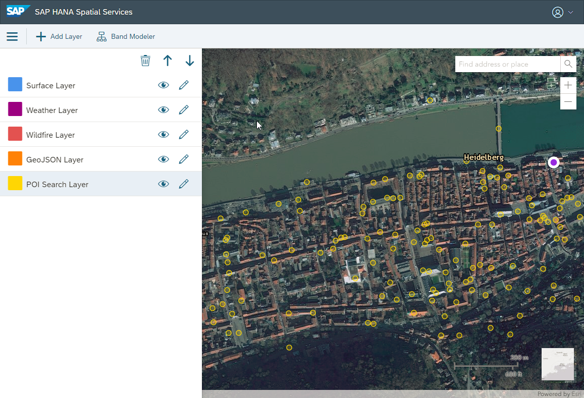
- Utilize Spatial Services Web Application for fast information insights & search
- Connecting to the services API’s programmatically from inside business applications.
For further insights check out our SAP HANA spatial services
Solution Brief document online.
All the best,
Marcus
